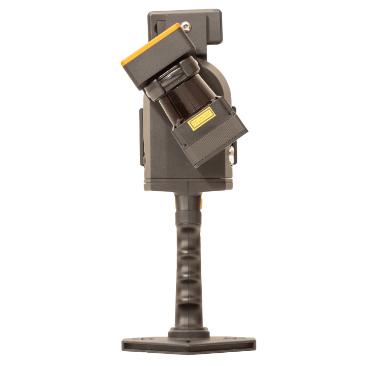


GeoSLAM ZEB Revo RT
GeoSLAM Revo RT
View point cloud in real-time.
The GeoSLAM Revo RT is a handheld, lightweight laser scanner, enabling you to build accurate 3D models in minutes while on the move.
Capture 43,000 points per second and achieve survey-grade relative accuracy of up to 6mm, which is ideal for precision scanning and capturing fine details.
View point cloud data in real-time to see the areas you’ve covered (or missed) and the route you’ve taken before you leave your survey site.
The ZEB Revo has a 30m range and can be used in areas with poor GPS, including indoors, underground and outdoors.
It features a rotating LiDAR sensor for the widest field of view and has a rugged IP54 rating.
Data collected from the ZEB Revo RT can be processed via GeoSLAM Connect & Draw, as well as a range of third-party software.
heliguy™ offers a full ecosystem of support for the ZEB Revo RT, including free consultancy, other GeoSLAM products and in-house surveying specialists to help with the sensor and datasets.
ZEB Revo RT Applications
Handheld 3D scanning for professional applications
The ZEB Revo RT is ideal for capturing data for accurate 3D models and can be deployed by a range of industries.
A highly-portable tool, it is especially useful for mapping smaller spaces and indoor/underground environments.
It can be used for
- Architecture
- BIM
- Floor Plans
- Facilities management
Using a LiDAR 3D scanner for industrial purposes like mine inspection and quality control can increase safety, reduce time and lower costs, enabling you to scan objects like buildings or landmarks with ease.
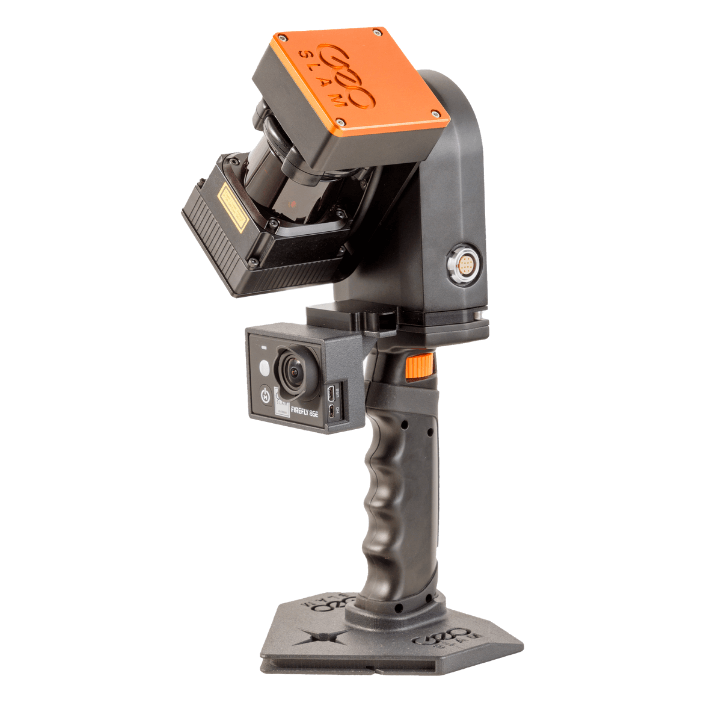
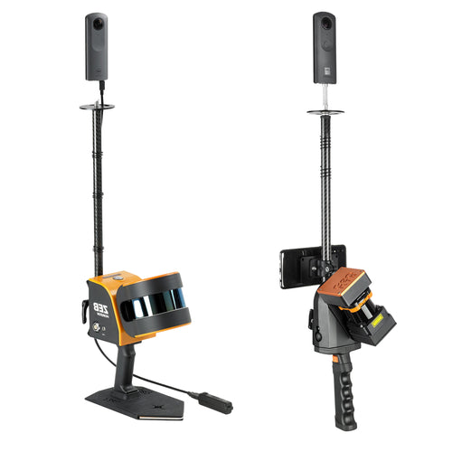
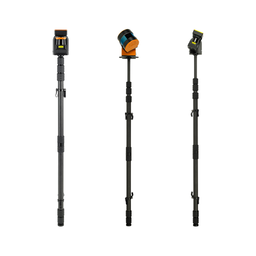
Flexible LiDAR Scanner
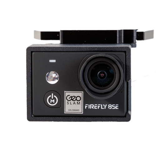
Accessories for enhanced data collection.
The ZEB Revo RT can be paired with other GeoSLAM products to make the most of your surveying missions.
Why Use SLAM LiDAR?
On-the-go 3d mapping
With powerful SLAM technology at its heart, the ZEB Revo RT can be used in areas with poor GPS.
SLAM stands for Simultaneous Localisation and Mapping. It is the process of computing the position of the sensor while building a map of the environment simultaneously.
This process enables surveyors to map an unknown environment as they go, making mobile mapping possible.
As such, SLAM simplifies data collection - removing the dependency on multiple static set-ups of bulky tripod-based systems - and can be used in a variety of environments, such as indoors, underground or outdoors.
The ZEB Revo RT is a LiDAR-based SLAM system which uses a laser sensor to generate a 3D map of its environment. LiDAR is a fast and accurate surveying technique.
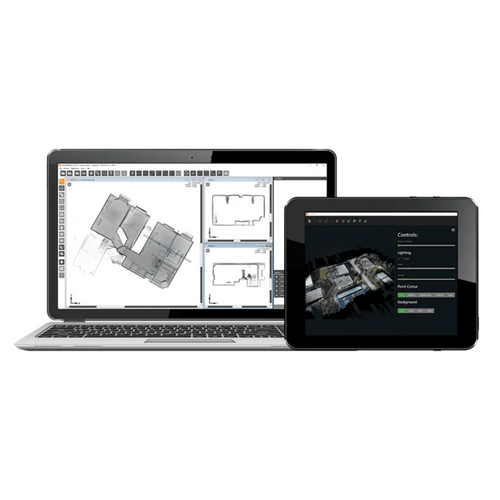

ZEB Revo RT: Data Processing
GeoSLAM Connect & Draw or third-party software
The GeoSLAM Revo RT has been engineered for flexibility. Process your data through GeoSLAM Connect and/or Draw, or take your point cloud to new places with a range of industry-leading third-party software.
GeoSLAM Connect and Draw is a comprehensive software suite that provides an end-to-end scan-to-plan workflow, transforming your data into actionable information and valuable deliverables.
GeoSLAM Connect comes as standard with the ZEB Revo RT. Use this package to create clean, georeferenced point clouds automatically.
GeoSLAM Draw is an optional add-on software, designed to further enhance points clouds. A range of industry-specific packages are available.
Alternatively, the ZEB Revo RT is compatible with a range of third-party software. Click the expander below to find out more.
GeoSLAM LiDAR Scanner Data Sets
3D models, maps and data exports.


