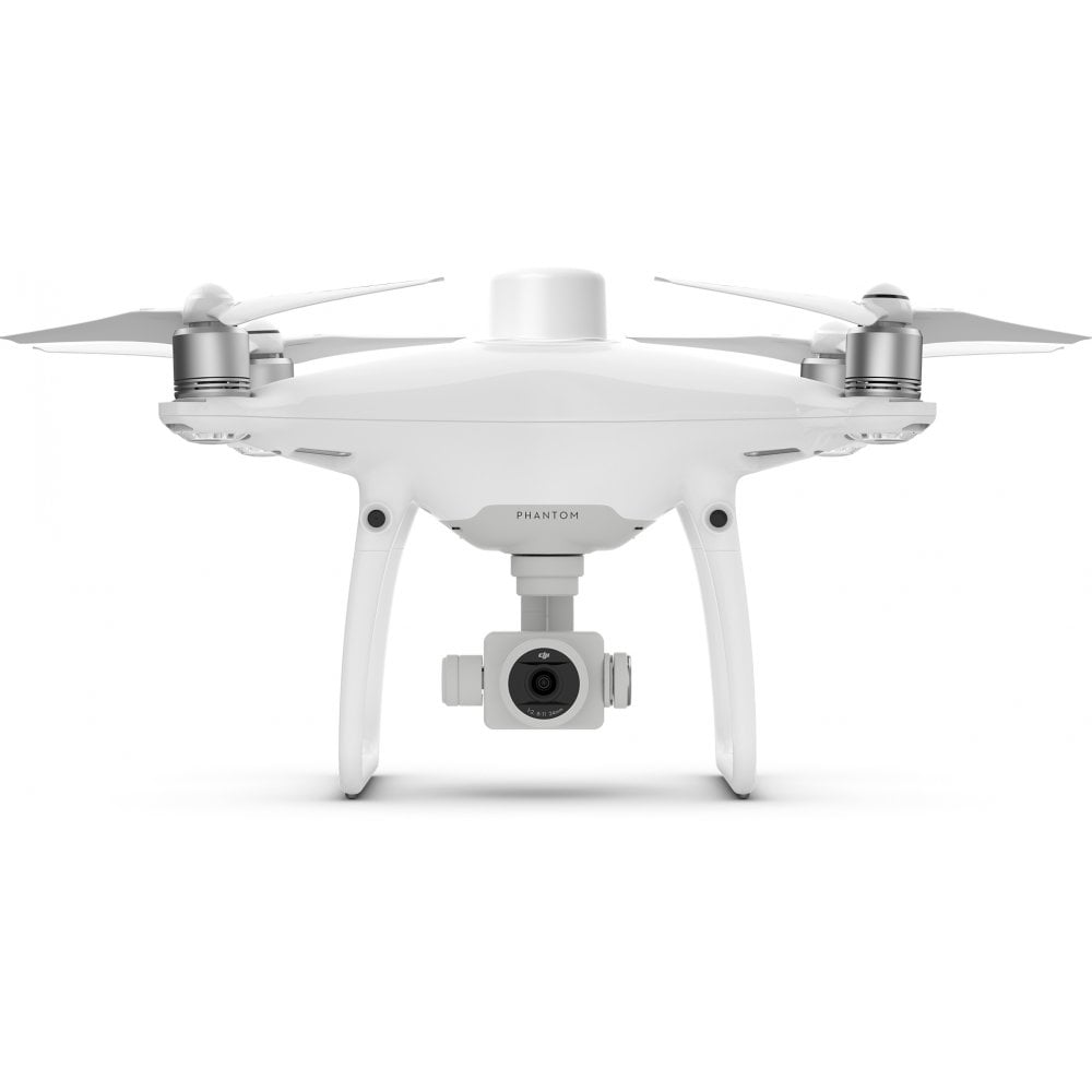


DJI Phantom 4 RTK SE
Phantom 4 RTK SE
Compact and accurate low-altitude mapping drone
The Phantom 4 RTK SE is a compact and accurate low-altitude mapping drone from DJI.
It is compatible with DJI Terra - the 3D mapping software from DJI.
Most people are already familiar with the DJI Phantom range of drones. The low barrier to entry makes the Phantom 4 RTK SE even more attractive than existing mapping solutions.
There's also a lower price point, a dedicated app and existing ecosystem of accessories, including the DJI D-RTK 2 mobile station.
As a DJI Enterprise specialist, heliguy™ can help you understand how the Phantom 4 RTK SE can benefit your organisation and provide guidance on what kind of configuration you'll need for any given application.
Phantom 4 RTK SE Accuracy
The DJI Phantom 4 RTK SE can produce extremely accurate data.
This custom built quadcopter is crafted from the ground up with accuracy in mind.
This results in:
- 1cm+1ppm RTK Horizontal Positioning Accuracy
- 1.5cm+1ppm RTK Vertical Positioning Accuracy
- 5cm Absolute Horizontal Accuracy of Photogrammetric Models
This is on par with some of the most advanced equipment available, but in a much easier to use, lower priced, compact and more reliable package.
The technology in the Phantom 4 RTK SE means that fewer ground points are required to achieve the same high level of accuracy.
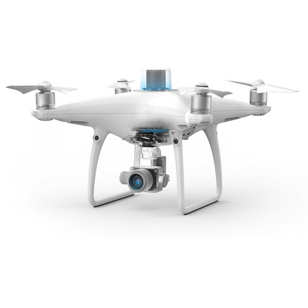
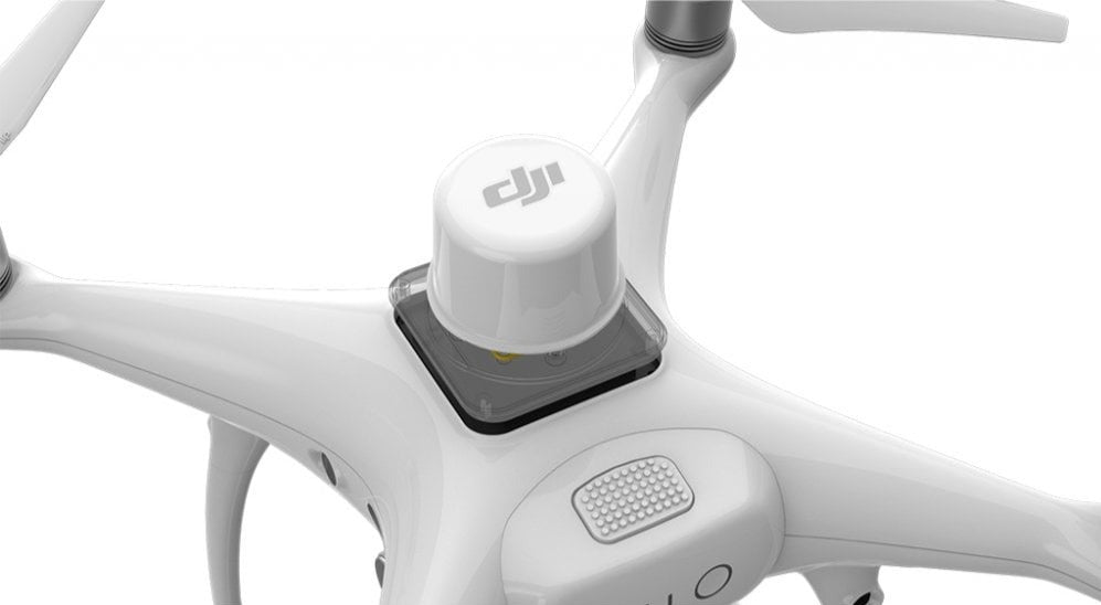
How is RTK used on Phantom 4 RTK SE?
The RTK module on top of the drone body collects centimeter-level positioning data in real-time.
Extremely accurate positional data is then added to image metadata.
An additional redundant GNSS module ensures that the Phantom 4 RTK SE will remain stable in flight regardless of the conditions.
The combination of these modules make for accurate data collection for a range of mapping, surveying or inspection workflows.
If you need more flexibility, the Phantom 4 RTK can also be used in conjunction with the D-RTK 2 Mobile Station, NTRIP (Network Transport of RTCM via Internet Protocol) using a 4G dongle or WiFi hotspot, or store the satellite observation data to be used for Post Processed Kinematics (PPK).


TimeSync system on Phantom 4 RTK
DJI have created a TimeSync system to make sure that all users can take full advantage of the Phantom 4 RTK's power.
It continually aligns the flight controller, camera and RTK module during flight.
Each photo that is taken uses the most accurate fixed positioning data at the center of the 1" CMOS sensor.
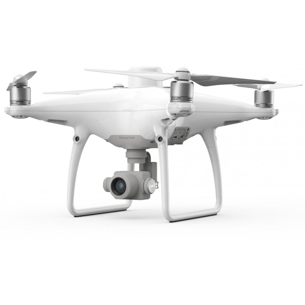
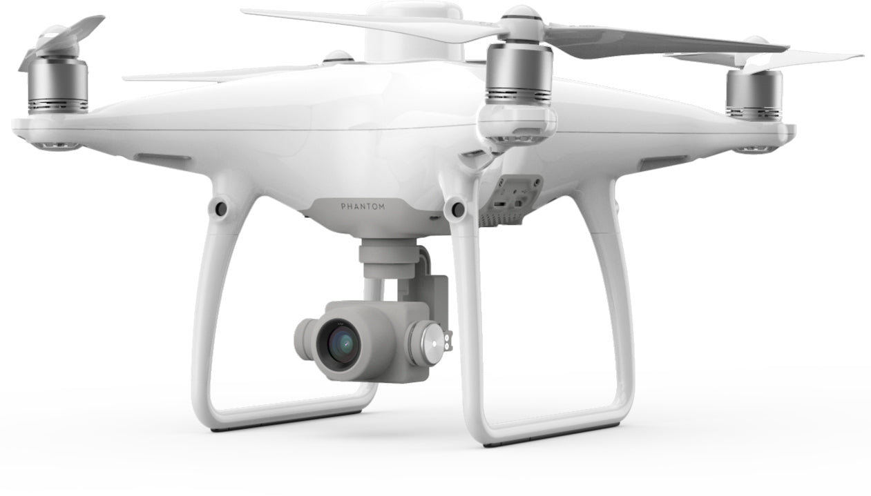
Phantom 4 RTK Image Capture
The camera is the same as the Phantom 4 Pro, a 1" CMOS sensor which captures incredible detail.
This high resolution camera allows the Phantom 4 RTK to achieve a Ground Sample Distance (GSD) of 2.74 cm at 100 meters flight altitude.
DJI rigorously calibrate each camera before dispatch, to ensure that your Phantom 4 RTK will collect only the most accurate images.
The unique distortion parameters for the individual camera or image are also saved into image metadata - allowing you to take accuracy even further in post processing.

Changes to Phantom 4 RTK Remote Control
The remote controller for the Phantom 4 RTK has also had some additional features.
It's based on the Phantom 4 Pro+ remote with a built in screen.
In addition however, the following improvements have been made:
- Pre-installed GS RTK application.
- Built-in Micro-SD card slot.
- Built-in speaker.
- Hot-swappable batteries.
- Can be used to connect to the internet using a 4G dongle.
DJI Phantom 4 Software
DJI Terra
To take your missions further, the Phantom 4 RTK is compatible with DJI Terra - DJI's new mapping solution.
The photos captured from your DJI drone can now be transformed into digital 3D models or maps.
The models created in DJI Terra can be used in a huge array of applications, including public safety, construction, infrastructure, agriculture and media.
DJI Terra allows you to plan flights prior to your operations, collect and centralise drone data, create 3D maps from selected areas and carry out valuable data analysis.
Esri Site Scan
Esri Site Scan for ArcGIS
The Esri all-in-one drone software solution, Site Scan provides a central hub for project management, drone missions, data collection, and analysis.
Site Scan provides a complete platform for acquiring and processing drone imagery, working with resulting data products and managing drone assets.


