

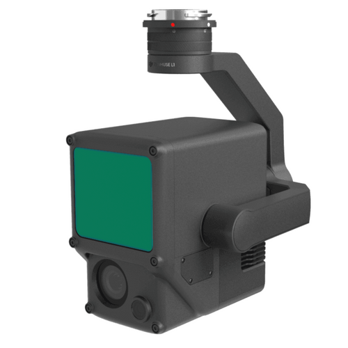
A new firmware update has been released for the DJI Zenmuse L1, which includes mapping and flight calibration optimisations.
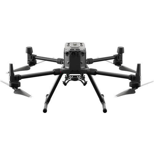
The L1 is a plug-and-play LiDAR and photogrammetry sensor, compatible with the M300 RTK drone - which also had a major firmware update last week to improve data security and flight performance.
L1 Firmware Update Details
- DJI L1 Firmware: v03.00.01.00
- Firmware Upgrade Method: DJI L1 - SD card / Update All in App
-
Other Product Firmware and Software Required: M300 RTK aircraft firmware: v03.00.01.01; M300 RTK remote controller firmware: v03.00.01.02; DJI Pilot App Android: v3.0.1.4 (M300).
The update can be viewed here.
Please ensure that the aircraft firmware, remote controller firmware, DJI L1 firmware, and DJI Pilot app firmware are updated to the latest versions.
L1 Firmware Update: What's New
The key features of the L1 firmware update are:
- Added Zenmuse L1 calibration, allowing users to make a calibration file to complete L1 calibration and restore factory settings.
- Added Elevation Optimisation to Mapping Flight. The L1 only takes photos and does not record point clouds during elevation optimisation segments of flight when Elevation Optimisation is enabled.
- The default metering for photos during flight route is updated to center-weighted average metering.
- The L1 camera will automatically focus to infinity after the focus mode switched to MF.
- The Calibration Flight is updated to acceleration and deceleration calibration flight (except for Linear Flight Mission). The aircraft will fly forward 30 m (98 ft) and then fly backward 30 m (98 ft) at next nearest waypoint after every 100s during Waypoint flight when the calibration flight conditions are met.
- The aircraft will also perform a calibration at intervals of less than 100 seconds during extended flights using Mapping flight.
- Fixed issue: Incorrect flight height displayed during Terrain Follow Flight.
- Fixed some minor bugs.
heliguy™ has a number of guides to help you optimise flight performance and data collection with the L1. These include:
- Best L1 Flight Parameters
- How To Post Process Point Clouds In DJI Terra
- Drone Mapping With the L1 And DJI Terra

Leave a comment