

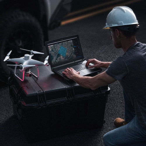
- Lincolnshire Resilience Forum - comprising more than 30 category one and two responding agencies - using DJI drones and Esri ArcGIS software platform to better prepare and respond to major incidents;
- Drone data creates 2D orthomosaics and 3D models of high-risk areas and assets for use before, during, and after a major incident;
- The Forum is deploying an interactive dashboard on the Esri ArcGIS suite to consolidate data, which can be viewed agency-wide for enhanced and coordinated information sharing;
- The Esri dashboard can be updated in real-time, identifying property and vulnerable people at risk, coordinating door knocks, planning evacuation routes, and forward command points;
- During recent flooding across Lincolnshire, drones were flown over inaccessible areas to enhance situational awareness and monitor the escalating situation;
- LRF will be working with the Environment Agency to use drone data to analyse flood defences along the East Coast;
- heliguy™ has supplied hardware and provided drone survey training to LRF, and is an Esri UK partner.
Lincolnshire Resilience Forum (LRF) is combining DJI drones and Esri mapping software to better prepare and respond to major incidents.
LRF provides a county-wide, multi-agency response to emergencies - covering an area of 2,292 miles and a population of more than 750,000 people.
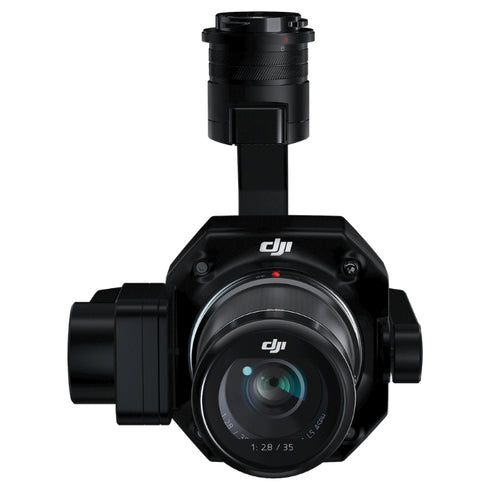
The Forum is deploying drones - such as the DJI M300 RTK and P1 photogrammetry camera - to map critical infrastructure and areas of risk across Lincolnshire.

This data is integrated with Esri’s ArcGIS ecosystem of interactive dashboards and collaboration tools, facilitating more informed planning and incident response and improving team-wide communication.
This leads to:
- Faster and more coordinated decision-making during emergency situations;
- Better understanding of risk;
- Real-time updates;
- Enhanced safety of officers and the community.
Mark Garthwaite, Emergency Planning and Business Continuity Officer at Lincolnshire County Council - which is part of LRF - said: “Recent emergencies have shown us how useful technology such as drones and GIS can be to get real-time intelligence and a better spatial understanding of affected areas.
“Combining drone data with ArcGIS gives us a collaborative solution that we can use before, during and after major events.”
Drones To Monitor Flooding
During recent flooding across Lincolnshire, drones were deployed to provide real-time footage of a breached river bank and monitor the developing situation at a water treatment plant which was inaccessible by road.

Mark said: “The police put the drone up and it provided a fantastic capability. The footage was streamed back to the control room and we could monitor the situation, a lot easier and a lot safer than using alternative methods.
“We could also fly over other parts of the river and monitor high-risk areas which previously flooded in 2019 and analyse the situation.”
Incident Response With Esri ArcGIS And DJI Drones
The widespread flooding occurred just weeks after LRF staged an exercise in and around the Sutton on Sea and Skegness areas to test its evacuation and shelter provision in response to - incidentally - a flooding incident.
The exercise enabled the Forum to evaluate its new registration and mapping systems - utilising Esri ArcGIS. heliguy™ has partnered with Esri UK to offer the software ecosystem to enterprise drone programmes.
The Esri platform allows LRF to access a single, shared interactive ArcGIS Dashboard which consolidates data and updates in real-time to provide accurate agency-wide understanding of fast-changing situations and pre-planned incident response.
This includes:
- Identifying local infrastructure;
- Planning and showing evacuation routes and places of safety;
- Modelling potential hazards;
- Identifying property and vulnerable people at risk and calculate the time it takes for officers to door-knock an area, before deploying operational staff to the scene;
- Coordinating door knocks;
- Updates on closures, cordons and areas to avoid;
- Inform recovery plans, helping affected residents to return safely to their homes.
During the exercise, officers utilised Esri mobile solutions and ArcGIS to capture live incident-specific information - such as recording contact details for people evacuating their homes, registering those people sheltering in the rest centre, and highlighting any urgent medication or support needs that individuals had.

Mark said: “The team could add specific details about members of the community, such as if they had been evacuated, who was at the property, how many pets they have, and if they needed any additional support.
“This data would update in real-time and could be viewed by team members online, on mobile devices or on a huge touch screen in the County Emergency Centre and Force Control Rooms, helping to keep everyone informed, up-to-date, and improve team-wide coordination.”
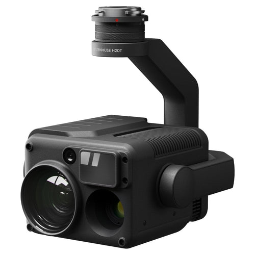
During the door-knocking exercise, the DJI M300 RTK drone and H20T camera were deployed overhead, monitoring ground teams and observing the ongoing situation.

Mark said: “The drone made sure the door-knocking teams were safe and, in a real-world incident, we could keep them informed about if the water, for instance, was starting to head in their direction and tell them to speed up operations.
“We also deployed the H20T’s thermal sensor to quickly identify our team, especially when they were located across large areas. We obtained a heat source and then identified them with the visual camera.
“The Esri software and the drone proved a great asset on the day and the community responded well to it.”
Benefits Of Drone GIS Data For Major Incident Planning And Response
The door-knocking routes were planned before the exercise and 2D orthomosaics collected with the M300 RTK and P1 were overlaid on the ArcGIS mapping software.
Mark said: “The week before the exercise we planned the door-knocking route and then flew the drone over to collect the data and this real-world orthomosaic was overlaid onto the map for the teams to use during the door-knocking.”

This provided the team with enhanced visualisation capabilities, but also ensured they were working with up-to-date information.
Mark said: “This is a major benefit of using drone imagery, compared to relying on maps from Google Earth, because you know you are working with accurate data.
“For instance, there has been occasions where Google Earth has shown an area but the information is out of date. So the drone enables us to capture up-to-date imagery, quickly and easily, and dynamically update this information as areas change.”
Lincolnshire has nine major accident hazard sites - covering establishments which store or handle large quantities of dangerous substances - and Mark intends to drone map all of them - as well as other key locations - and build a library of 2D maps and 3D models.

He said: “This excellent drone capability allows us to map various areas of risk across Lincolnshire to enable better informed planning and response to emergencies in the county, and to provide better information to decision-makers.
“Drone models are valuable during an incident - enabling us to see what the facility looked like beforehand and where we should put personnel.
“This ensures that faster, more accurate and timely support can be given where it is most needed in an emergency situation.”
"These digital assets can also be used for training and planning. You can sit in a classroom, view the 3D mesh remotely without having to visit the site, and create robust response plans to better prepare for an emergency if it did occur.”
The heliguy™ in-house geospatial team delivered a drone surveying course to LRF to help the Forum learn how to conduct drone 3D mapping and modelling.

The test location was Lincoln City’s football ground - resulting in this 3D model, created with data captured by the P1 and processed through DJI Terra. Use your mouse to scroll around and view the model in more detail.
To find out how the stadium was modelled, read our In-depth Guide To Creating 3D Models With Drone Photogrammetry Data.
Mark said: “The heliguy™ course was excellent, helping us increase our skills in terms of aerial mapping and photogrammetry.”
Drone LiDAR For Evaluating Flood Defences
Because flooding is a major risk in Lincolnshire, Mark plans to work with the Environment Agency, using drone LiDAR data to conduct an audit of the region’s flood defences.
He said: “Planning is so important, so we are going to be working with the Environment Agency and will be mapping eight key points along the East Coast.
“We will be looking at the flood defences and observing where they need to be higher, and where the water would go in the event of a breach.
“We will be using LiDAR to obtain elevation data. Using the drone is accurate and quicker and less labour intensive than conducting traditional surveying methods.”
He added: “If you have mapped an area before an incident like a flood, and then it does actually flood, you can redeploy the drone and the data will tell you how deep the water is. It is much safer and accurate than having someone wade out with a stick.”
Summary
Comprising more than 30 category one and two responding agencies, LRF responds to all major emergencies and incidents that impact the county of Lincolnshire.
As such, LRF’s operations require a coordinated, multi-agency response, involving shared information and collaboration to respond immediately to catastrophic incidents - helping preserve life, livelihoods and the environment.
Combining drones and the Esri ArcGIS software provides LRF with such a solution - helping pre-plan for a major incident and respond better when an emergency breaks out, all while improving collaboration,
Mark said: “Our focus is community safety. Working together and utilising technology such as drones and the Esri software ensures that, when an emergency does happen, the response is coordinated and meets the needs of those who need our support.”

Leave a comment