

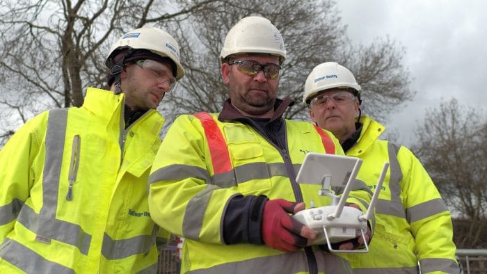
“For inspections, the DJI M210 is our go-to drone, because it is easy to fly and it is more stable than any drone we’ve used before - which means we can get more work done!”
Those are the thoughts of Toby Townrow, Co-Founder and Communications Director of Drone Evolution, as he reflects on his company’s dynamic workflows and growing UAV programme.

The Welsh firm, which carries out a range of aerial work – from roof checks to generating 3D models for surveying – turned to DJI Gold Partner heliguy™ to help build its fleet.
We’ve been working with heliguy™ since the beginning and have always found the team to be very helpful in all aspects of service and delivery is very swift.
Toby Townrow, Drone Evolution
Taking advantage of the DJI eco-system, Drone Evolution has five DJI M210s, including one M210 RTK, which are armed with DJI Zenmuse Z30 zoom cameras; a DJI Inspire 2 with a DJI Zenmuse X5S camera; and a DJI Spark.
Drone Evolution is using drones to save its clients time and money, provide more accurate data, and also increase operational safety.
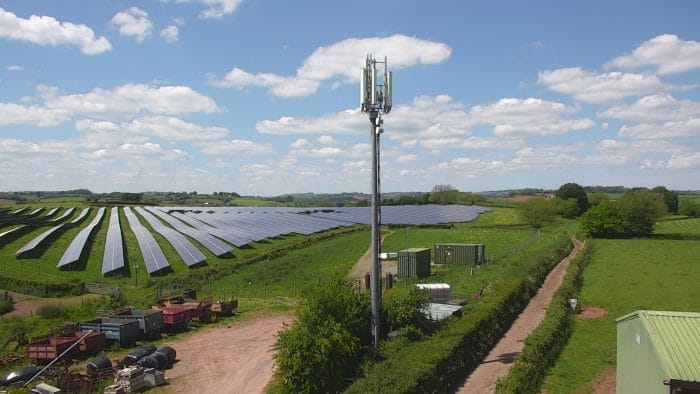
We provide aerial inspection photos using the M210 for telecoms towers and the zoom capability of the integrated Z30 camera is incredible and always blows clients away.
Toby Townrow
And when it comes to inspections, only one drone will do – the trusty DJI M210. This reliable workhorse has enhanced Drone Evolution’s operations, and thanks to its stability, the company says it can conduct more work than ever before!

Praise For The DJI M210
When DJI first unveiled the DJI M200 Series – followed this year by the V2 edition – the Chinese manufacturer marketed the aircraft as the ultimate platform for aerial productivity, working as a solution for a variety of industrial applications.

This has certainly been the case for Drone Evolution.
Reflecting on the DJI M210 – which has the ability to carry dual payloads, a maximum flight time of 38 minutes and a rugged IP43 rating – Toby said: “We’ve found the M210 far more stable than any drone we’ve previously used. This means that we can work in wind conditions that we couldn’t work in with other types of drones – which means we can get more work done thanks to the M210!
“The build quality is fantastic, it’s extremely light and with the trusty DJI interface, it’s incredibly easy to use.
“The ability to add a gimbal to the top of the drone means that bridge inspections can be carried out with ease – and the fact that this was included was a pleasant surprise!”

‘The Zoom On The Z30 Blows Clients Away’
One of the major advantages of using the DJI M200 Series is the ability to integrate top-class payloads which can transform any aerial mission.
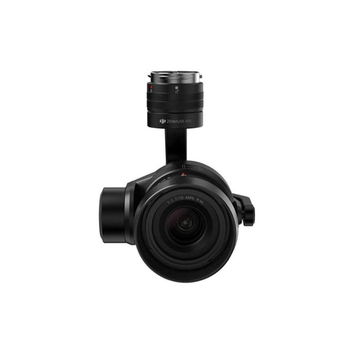
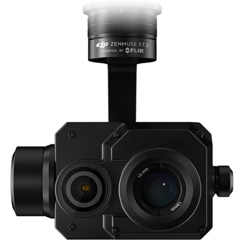
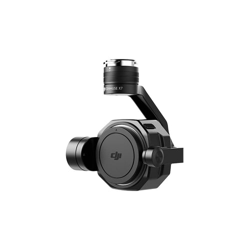
Sensors compatible with the M200 Series include the Z30 zoom camera, which boasts a 30x zoom; the sophisticated thermal XT2; and the cinematic X5S, plus the X7 (only compatible with the M200 V2 Series); as well as third-party payloads.
Drone Evolution equips its M210s with the Z30 and the X5S and the results speak for themselves - enhancing workflows, improving data collection and wowing customers.

Toby said: “We have a programme of scheduled maintenance for a large corporate client where we provide aerial inspection photos using the M210 for telecoms towers.
“The Z30 camera means that we can be really flexible about where we fly from and are able to work around potential access issues. The zoom capability of the Z30 is incredible and always blows clients away.”
The images below show the zoom capabilities of the Z30 when equipped on drones for inspections.

In terms of using the X5S camera - which is equipped with an uprated Micro 4/3 sensor and has a dynamic range of 12.8 stops with a much-improved signal to noise ratio and colour sensitivity than the X5R - Toby said: “We use the X5S camera to take regular photos from the same spot on a construction site so that our client can show their client the progress of work on a two-year project.”
Transforming Work With Drones
When it comes to using UAVs, Drone Evolution’s message is clear.
‘We want to change the way that drones are used by focusing not on the technology itself, but how the technology can be adapted to the benefit of people and organisations,’ states its website.
The key word here is benefit. And when it comes to drones, there are many benefits over traditional methods, including enhanced safety, improved data capture, and rapid results.

Take inspection, for example. Toby says: “Inspecting infrastructure with a drone takes much less time and is so much safer than the traditional method of climbing ladders or lattice towers. Roof inspections with drones can be done swiftly and can help to spot challenges that might cause problems for the client.

"A lot of the work we do is routine planned maintenance – uploading photos to the cloud for them to be checked remotely makes this process quick and easy for our main client.”
Drone Evolution also specialises in surveying and creates 3D models, like this one below.

This particular model was captured with a DJI Inspire 2 and X5S camera, although Drone Evolution now does all of its photogrammetry with the DJI M210 RTK.

Toby said: “Using the M210 RTK aircraft increases our accuracy when carrying out topographical surveys and the point clouds we’ve produced from our 3D models as a result have been amazing.”
In this example, the Pix4D app helped to capture the images and Recap Photo was used to output the model.

Using remote aerial systems for aerial 3D surveys has many benefits compared to traditional ground-based survey methods and practices.
This includes:
- Speed: Drones can cover a larger area in a fraction of the time of ground-based surveys.
- Efficiency: The data can be captured in detail once and then analysed and reviewed infinitely.
- Comparable: Using automated flight systems, the exact same data can be captured again in the future and compared.
- Measurable: The models can be accurate down to centimetres and measurements such as distance or volume can be generated.
- Safer: Aerial systems make accessing inaccessible or dangerous places much safer with reduced risk.

Toby said: “Using drones for surveying produces accurate, speedy results.
“Using traditional methods, measuring volumes can take time, topographical surveys can take more time and highways surveys can cause disruption and take time.
"But quantity surveying by drone can reduce the time and in some cases the inconvenience it takes to get the required results using traditional methods.”
Drone Evolution uses drones for other work, including thermal inspections; event security; cinematic photography and video for marketing; and emergency response.

Why Did You Choose Heliguy?
For any great drone services provider, you need a great drone supplier, and this is where heliguy™ comes in.
Toby said: “We’ve been working with heliguy™ since the beginning and have always found the team to be very helpful in all aspects of service.
“Delivery is very swift and getting hold of the people we need to speak to is easy.”
heliguy™ also specialises in drone detection and has installed DJI AeroScope into a number of airports around the UK.
heliguy™ also has an in-house training team, delivering CAA-approved courses and industry-specific closed courses.

About Drone Evolution
With the backing of the Angels Invest Wales Fund and the Development Bank of Wales, Drone Evolution – based in Caerphilly – officially began operations on November 1, 2018.
The company is focused on bringing benefit through the use of drone technology for people and organisations, saying that UAVs increase safety in the workplace in many situations as well as saving time and money.
The company is also developing a range of tethered drone products to extend flight times.
To find out more about any of the drones mentioned in this article, or to see how heliguy™ can support, start or scale your commercial drone programme, send us an email or give us a call.

Leave a comment